Celebrating our first scientific milestone!
What a start! Here in the Natural History Museum Community Science team, we couldn’t be happier. 40% of you have already completed the site boundary activity, which equates to 1080 settings with site boundaries completed and added to the Nature Park map.
'95% are of completed site boundaries are research grade quality, meaning that we can include them in the Nature Park scientific datasets to measure your impact on biodiversity!'
It may not be the most inspiring activity that you need to do as educators, but creating your site boundary is the first and most important step for the scientific journey that many of you are embarking on as part of the National Education Nature Park.
Drawing your site boundary adds your setting to the Nature Park map, and means that we can measure exactly how much of England’s space is participating in the National Education Nature Park programme. We can then start to measure what proportion of the Nature Park is covered by different types of habitat and how that changes over time. Further down the line, once your setting is recording the wildlife you find and making changes to your site, we’ll be able to start quantifying the impact that you are having per metre squared, per educational setting, and across the whole Nature Park landscape. The more accurate your site boundary is, the more accurate your research findings will be, and so the more reliable the scientific research we produce from the Nature Park will be.
Equally importantly, especially for inspiring your learners and your community, creating your site boundary means that any scientific records you generate through the Nature Park can be credited to your educational setting. This is real science carried out by you and your learners, and we want you to be able to take ownership and credit for your role in the research.
In the Natural History Museum's Community Science team we are checking every single setting’s boundary and making some tweaks and corrections along the way. So for those of you where things have gone a bit wrong, don’t worry! We’ll be getting in touch in due course to give you some help and get your boundary to research grade quality.
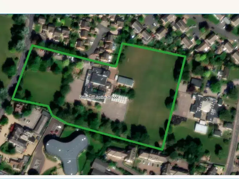
Our top tips for creating a high-quality site boundary:
- DO Zoom into the map, so the scale ruler (bottom-left corner) reads 10m or 20m.
- DO include your whole site within the boundary you draw, even if you don’t plan to make changes across the whole site. This includes your school buildings.
- DO compare the Nature Park map to Google Maps, if you find the images of your site are a bit blurry. Checking against Google Maps will help increase your accuracy.
- DO tidy your site boundary, by deleting any dots/points that went a bit wrong. You can do this by clicking on them and then pressing the delete button on your keyboard.
- DO delete shapes you’ve drawn that aren’t right or are duplicates. To do this select the shape, then click the red ‘delete’ button in the bottom-right corner.
- Finally, if you are having problems with your URN, DO search for your setting on the Government website to double-check the correct details
For more guidance on how to do your site boundary, see the Nature Park guidance video here.