Grassland indicator species

What is an indicator species, and how can we use them to learn about the ecosystem in an area? This resource guides learners through using indicator species to determine the abiotic and biotic factors present in a grassland ecosystem.

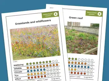
This resource can be used as an introduction to the Grassland plant survey to support students with interpreting results. Key learning points include understanding the properties of soil, and how these shape plant communities.

Lesson plans
KS4
Biology

Preparation

What you need
  • grassland indicator species presentation 
  • indicator species tables 
  • example quadrat images 
Location

Indoors

Useful guidance

Enquiry-based learning - A Nature Park guide

Scaffolding resources

Image
Photo of a landscape with a small lake, stream, and variety of other habitats visible.

Habitats: biotic and abiotic factors

Begin activity
Image
An image of a quadrat alongside the survey form

The Grassland Plant Survey - Expanded

Begin activity

Step by step

Learning outcomes (slide 3)
  • understand that abiotic and biotic factors affect plant communities
  • understand that human activities have effects on soils, and that this affects the surrounding ecosystem
  • able to infer information about soil chemistry and structure by using  the presence or absence of indicator species
Key vocabulary (slides 4-5)

Overview of key vocabulary in this resource. For more detailed definitions and examples, see the Grassland indicator species vocabulary presentation.

Indicator species profiles (slides 6-15)

These can be used to introduce the plants learners will look for as part of the Nature Park Grassland Plant Survey.

Using the indicators to characterise habitats (slides 16-23) 

Slide 17 explains the specific conditions that the indicator plants are associated with. 

Slides 18-23 guide learners through some of the key factors that the indicator plants can provide information about.

Types of grassland (slides 24-27) 

Profiles of the grassland categories and what the indicator species can tell us about an area.

Comparisons of related or similar species (slides 28-34) 

Dig into indicator species in more detail by comparing species related to the indicators used in the Grassland Plant Survey. 

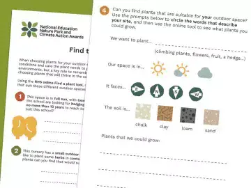
Learners could also use a plant ID guide or iNaturalist to identify the other plant species they find in their quadrats. A plant guide or the internet can then be used to learn about the habitats these are associated with.

Practice (slides 35-37)
  1. Learners examine photos of three quadrats showing different amounts of area covered by clover and greater plantain. Learners compare the pictured quadrats to infer the characteristics of the area.
  2. Use the indicator species tables and the Example Quadrats presentation to practice doing the survey and inferring the quality of the habitat using indicator species. 
  3. Get outside and find a few areas where you can do the Grassland Plant Survey, then use the tables with your survey results to learn more about the qualities of the grasslands around your site.