Explore the Nature Park data
Young people and educators have been gathering habitat and biodiversity data for all to explore on the Nature Park Map


Collecting the Nature Park data
Young people across the country are doing important work, collecting lots of data as part of their Nature Park journey. This work not only helps them on their Nature Park journey but contributes to real world science. Thousands of learners have become community scientists, collecting data on:
- what habitats are on their site
- pollinators
- environmental quality
- what changes they have made on their site to improve biodiversity
- what species are living on their site
Using the Nature Park data
Interacting with and using the data collected with your learners will ensure you get the most out of your Nature Park journey. It can help you to:
- make decisions about what to do in your site
- teach curriculum content
- show the impact of the changes you have made
- create and follow your Climate Action Plan
The first step to help you with this is the creation of the Nature Park Map. The Nature Park Map enables you to visualise all the Nature Park data collected by learners in one location. From the habitats recorded in settings to the quality of the environment, there are many exciting things to explore.
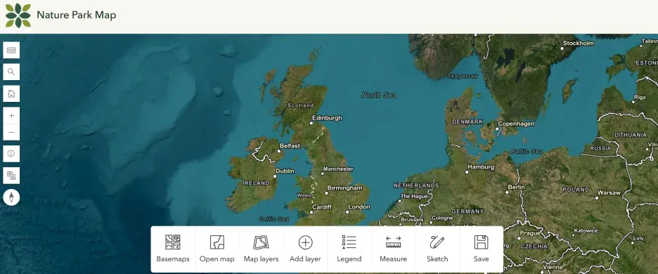
The Nature Park Map
Please note that we are currently working on a method for you to be able to manipulate and download your data. When it is released you will be able to access it from this page as well.